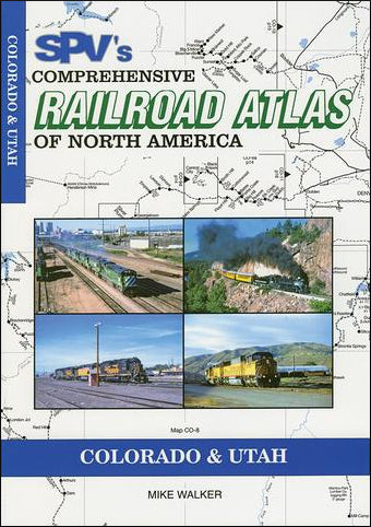
The Comprehensive Railroad Atlas of North America: Colorado and Utah shows all currently operated common carriers, tourist and major industrial railroads along with abandoned routes. Each atlas provides an average of 80 maps shown in constant scale of 8 miles to 1 inch for easy distance comparisons with 2 miles to 1 inch enlargements in complex areas. The atlas is printed on high-quality art paper with softcover and stitch bound for ease of use at trackside.
Published in 2008, this new 2 color edition shows the changes since the mergers of Burlington Northern and the Santa Fe and Southern Pacific into Union Pacific. It has also been expanded with additional enlargements to show complex areas in greater detail. For the first time, it includes maps of the interurban electric lines, light rail and principal logging railroads.
Proposed extensions to the Denver and Salt Lake City light rail systems are also shown.
PUBLICATION DATE 2008


