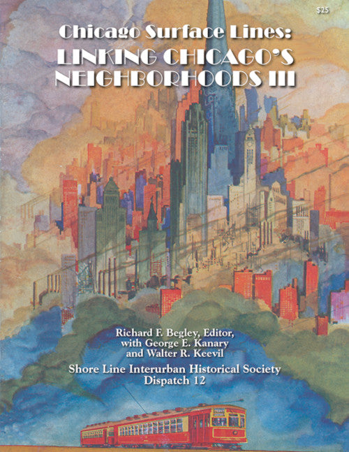
Route-by-route summaries include historical facts and operational details interspersed with photos, ticket images, and maps — many of which are in full color. Readers are also given a “then-and-now” tour showing color images of streetcars in action compared to how the same location appears in the present day.
Be sure to see the color center-spread map of surface lines as of 1938 — with readable streets, landmarks, and legend.
The is a must-own for post-war streetcar enthusiasts and historians alike!


